Regional map of India

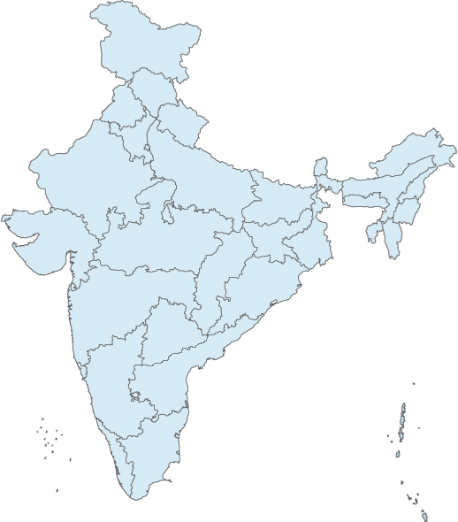
India specific map
New Delhi map

Total area 3,287,263 sq km
Land 2,973,193 sq km
Water area 314,070 sq km
Size comparative to U.S. territory 1/3 size of United States
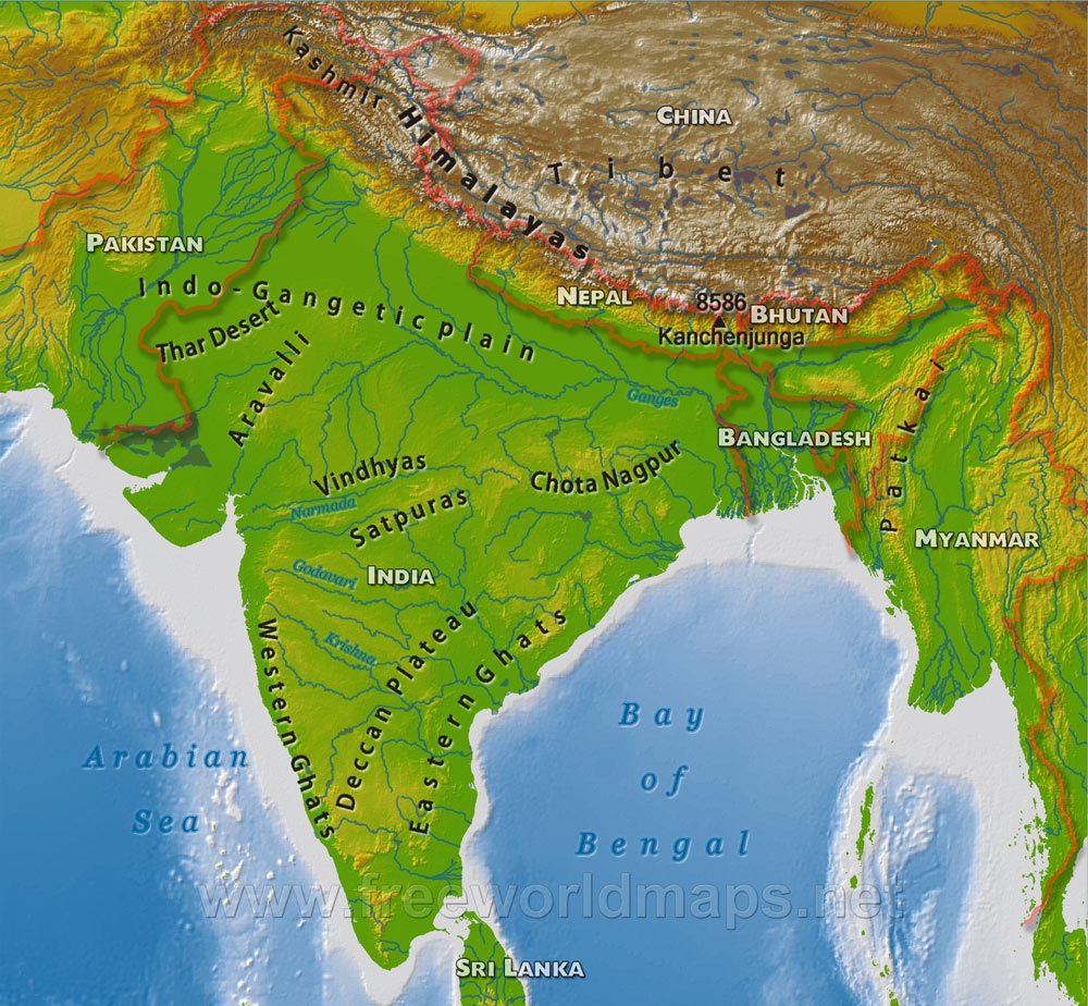
List all countries which share a border Bangladesh, Bhutan, Burma, China, Nepal, Pakistan
Total distance of all land boundaries 13,888
Total distance of coastline 7,000 km
Description of climate temperate North, tropical south
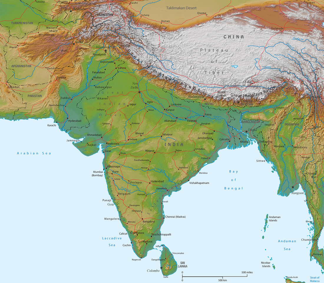
Description of Terrain plain in South and along ganges, Deserts in West, Himalayas in North
Point of lowest elevation Indian Ocean, 0 m
Point of highest elevation Kanchenjunga 8,598 m
At least two pictures to highlight country’s physical geography
Land 2,973,193 sq km
Water area 314,070 sq km
Size comparative to U.S. territory 1/3 size of United States
List all countries which share a border Bangladesh, Bhutan, Burma, China, Nepal, Pakistan
Total distance of all land boundaries 13,888
Total distance of coastline 7,000 km
Description of climate temperate North, tropical south
Description of Terrain plain in South and along ganges, Deserts in West, Himalayas in North
Point of lowest elevation Indian Ocean, 0 m
Point of highest elevation Kanchenjunga 8,598 m
At least two pictures to highlight country’s physical geography